
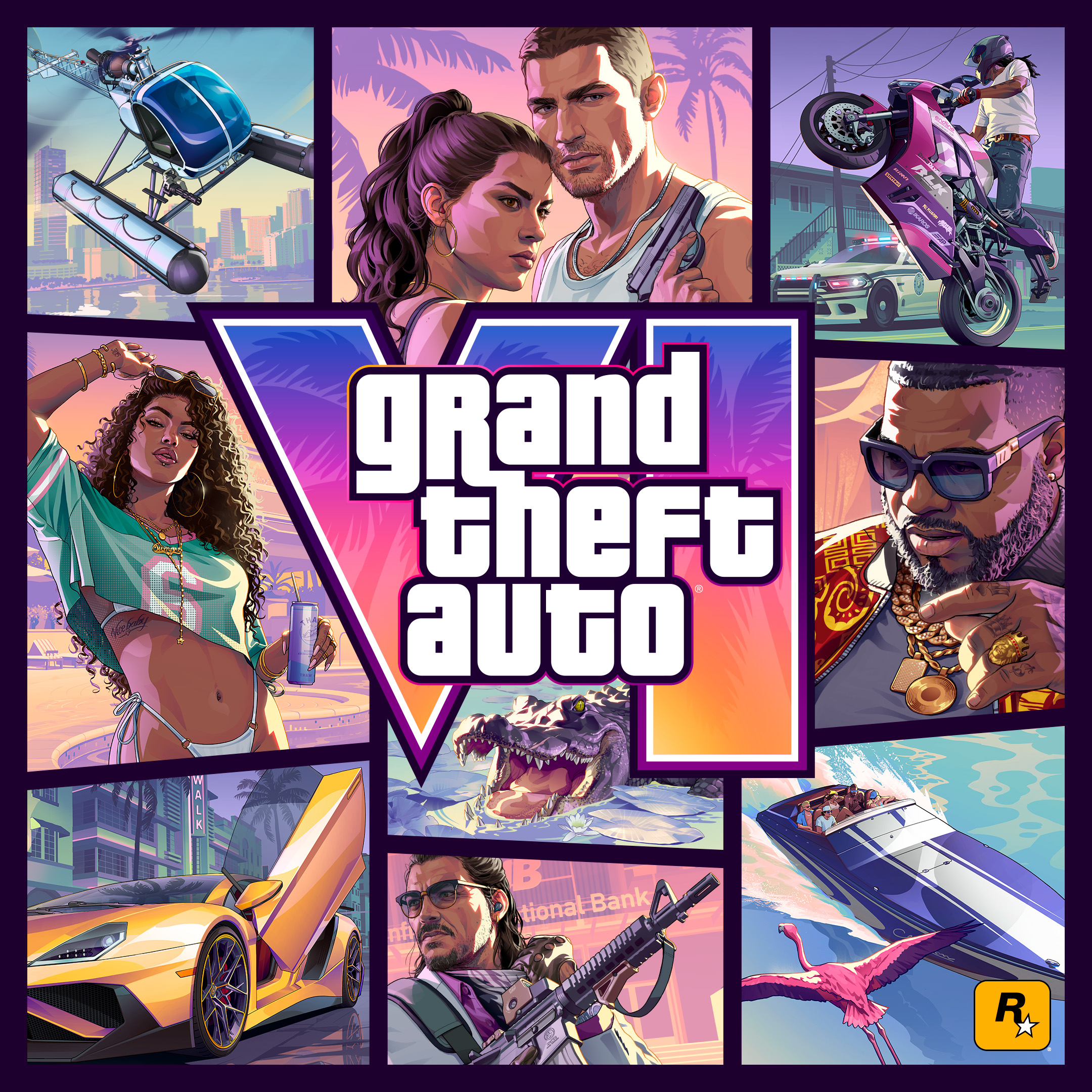
GTA VI Map Locations
Search 9 sourced Leonida regions and districts without invented coordinates.
Explore Map Locations
Data source: Rockstar region · reviewed 2026-08-31. Read each row note before comparing unlike metrics.
| Name | Category | Status | Verification source | Evidence scope |
|---|---|---|---|---|
| AmbrosiaA named Leonida region represented in Rockstar’s official people, places, screenshots, and artwork. | major region | Official region | Rockstar region | Official name; exact playable limits unpublished |
| GrassriversLeonida’s wetlands region, shown with fan boats, wildlife, waterways, and marshland travel. | major region | Official region | Rockstar region | Official name; placement remains non-numeric |
| Leonida KeysThe island-chain region tied to Jason, Brian’s boat yard, smuggling routes, and coastal life. | major region | Official region | Rockstar region | Official name; no invented boundary or coordinate |
| Little CubaNamed by Rockstar character-art leadership as one of the environments shaping local NPC appearance and clothing. | Vice City district | Developer-interview context | Dazed / Rockstar interview | Attributed developer-access reporting |
| Mount Kalaga National ParkThe northern wilderness area used by Rockstar to contrast Leonida’s cities, coasts, and wetlands. | major region | Official region | Rockstar region | Official name; exact playable limits unpublished |
| Port GellhornA named coastal region included in Rockstar’s official Leonida destination set. | major region | Official region | Rockstar region | Official name; exact playable limits unpublished |
| StockyardA Vice City mural district cited in Dazed’s Rockstar feature while discussing contributions from real street artists. | Vice City district | Developer-interview context | Dazed / Rockstar interview | Attributed developer-access reporting |
| Vice BeachDazed’s Rockstar access feature describes crowds on Vice Beach while discussing the city’s range of people and places. | Vice City district | Developer-interview context | Dazed / Rockstar interview | Attributed developer-access reporting |
| Vice CityThe neon-lit urban heart of Leonida and the primary city named in Rockstar’s story description. | major region | Official region | Rockstar region | Official name; no invented boundary or coordinate |
Pre-release records distinguish Rockstar-published facts, developer-interview details and observations from official footage. No numeric score or final mechanic formula is assigned.
GTA VI Map Locations visual reference
Explore official character and Leonida location screenshots selected for the GTA VI Map Locations. Open any image for a larger view.
What the GTA VI Map Locations covers
GTA VI Map Locations is a sourced place-name index for Leonida. Rockstar’s Only in Leonida profiles establish six broad regions: Vice City, Leonida Keys, Grassrivers, Port Gellhorn, Ambrosia and Mount Kalaga National Park. A Dazed interview conducted with Rockstar developers also names Vice Beach, Little Cuba and Stockyard as Vice City districts. No row claims a fan-estimated coordinate or map size.
Use the GTA VI Map Locations
- 1
Search a region or district name.
- 2
Filter by region, district, coast, wetlands or wilderness.
- 3
Read the status and evidence scope.
- 4
Open the row’s source before using it in a guide or map.
A result you can audit
Each section documents the calculation and the limits that apply to this specific gameplay problem.
How this reference is built01+
The explorer filters nine structured records by name, category, status and note. The displayed verification source is a link to the exact evidence page. It deliberately assigns no size, ranking, score or coordinate because those measurements have not been published for these entries.
Worked Example for the GTA VI Map Locations02+
Searching “Keys” returns Leonida Keys with Rockstar as the verification source and Official profile as the evidence scope. Searching “Little Cuba” returns a district named in Dazed’s developer-access feature rather than silently presenting it as a Rockstar location profile.
How to Use the GTA VI Map Locations Result03+
Use the result to organize region-specific guides or build a launch-day exploration checklist. Treat it as evidence that the name and high-level context are public—not evidence of exact borders, road distance or collectible placement.
GTA VI Map Locations Accuracy and Limitations04+
The complete street list, coordinates, boundaries, interiors, mission markers and collectible locations are not public. District names reported from developer access are sourced but do not have the same evidence scope as Rockstar’s six region profiles.
- Six entries have official Rockstar region profiles.
- Three Vice City districts are named in Dazed’s developer-access reporting.
- No fan coordinates or exact area claims are included.
Current Leonida location coverage
Reviewed August 31, 2026; names do not imply verified coordinates.
| Evidence group | Places |
|---|---|
| Rockstar region profiles | Vice City; Leonida Keys; Grassrivers; Port Gellhorn; Ambrosia; Mount Kalaga National Park |
| Developer-access interview | Vice Beach; Little Cuba; Stockyard |
Sources used for this page
GTA VI calculator FAQs
Clear answers about calculations, data, independence, privacy and practical use.
Which GTA VI regions has Rockstar profiled?
Rockstar’s Only in Leonida page profiles Vice City, Leonida Keys, Grassrivers, Port Gellhorn, Ambrosia and Mount Kalaga National Park.
Are Vice Beach, Little Cuba and Stockyard official districts?
They are named in Dazed’s August 2026 feature produced with Rockstar developer access. The rows label that evidence separately from Rockstar’s own region profiles.
Does this dataset prove where each place sits on the map?
No. A confirmed name does not establish exact coordinates, boundaries or travel distance.
Why are leaked locations excluded?
The page is designed as a verifiable reference and does not promote fan reconstructions or leaks to confirmed status.